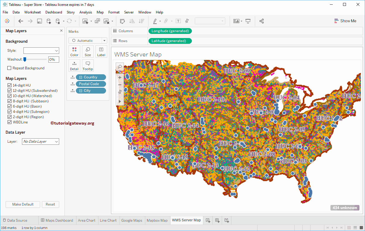
Generally, Tableau uses default Maps to display the spatial data, but you have the option to use your Background Maps. This article will show you how to use WMS Server Map as a Background Map in Tableau with an example.
For this WMS Server Map in Tableau example, we will use Sample – Superstore data sources that come with the Tableau.
How to use WMS Server Map as a Background Map in Tableau
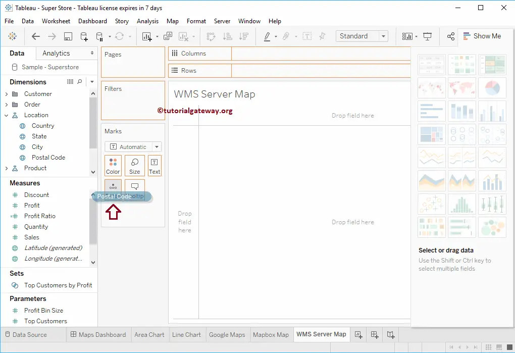
Before we start using the WMS Server Map as a Background Map in Tableau, let me create a Symbol Map first. To do so, Drag and drop the Postal Code dimension to the Details card present in the Tableau Marks Shelf
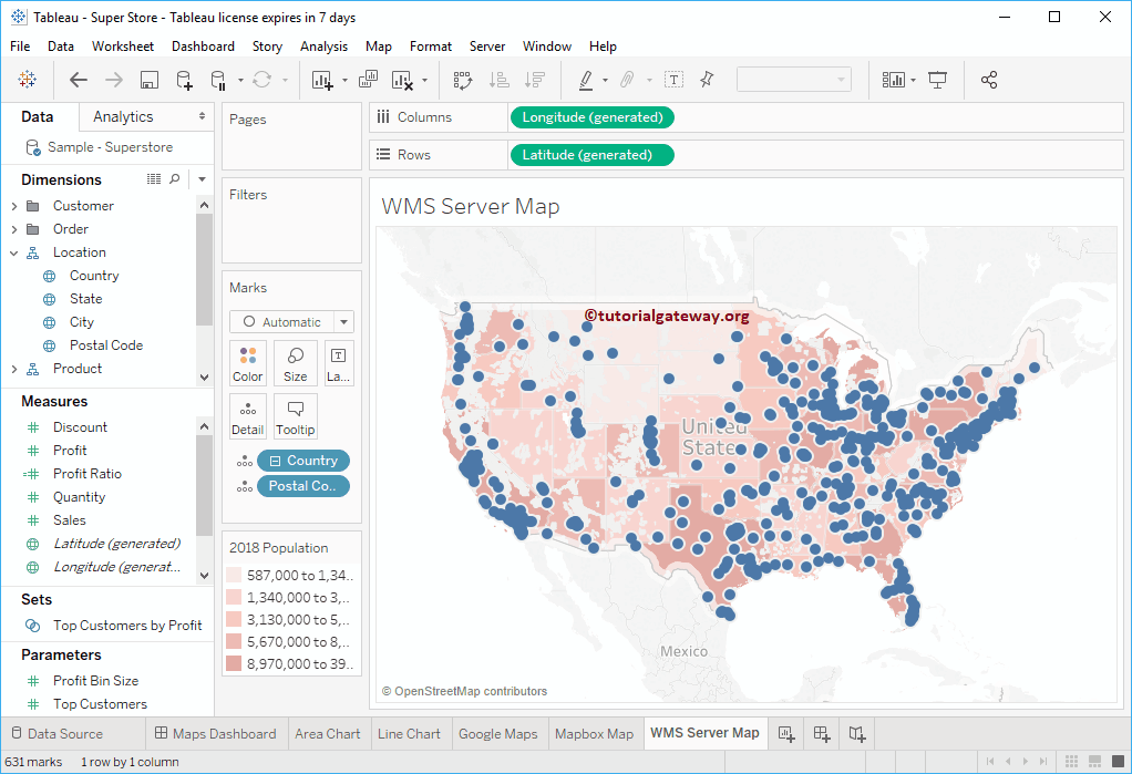
Now, you can see the auto-generated symbol map.
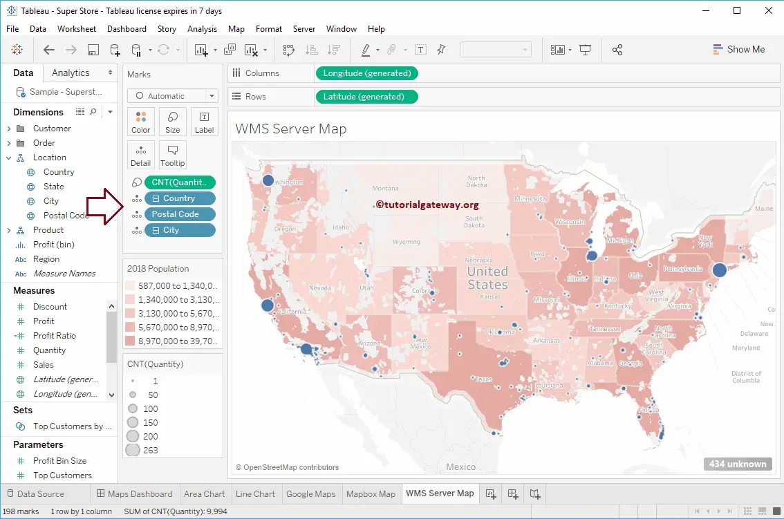
Let me add the City to Details card and the Count of Quantity to Size card. It means the Circle size will depend upon the Number of Orders.
To use Tableau WMS Server Map as a Background Map, Go to the Map, select Background Maps, and choose Map Services… from the drop-down Menu.
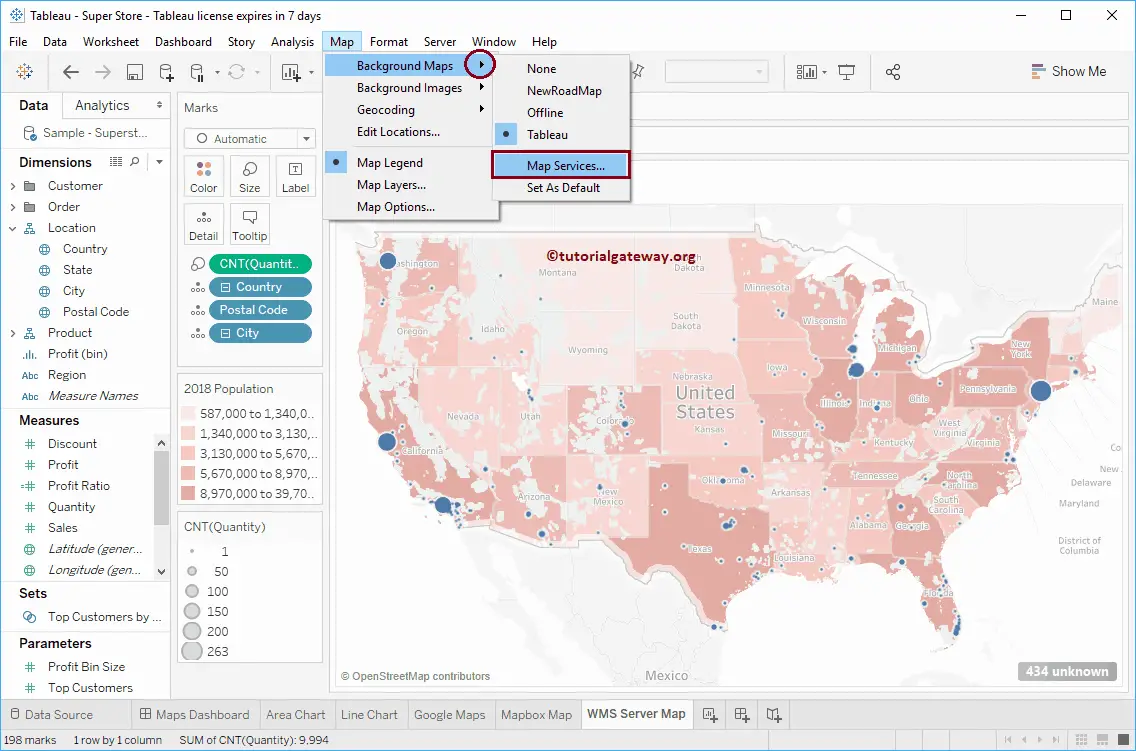
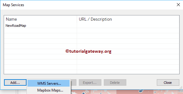
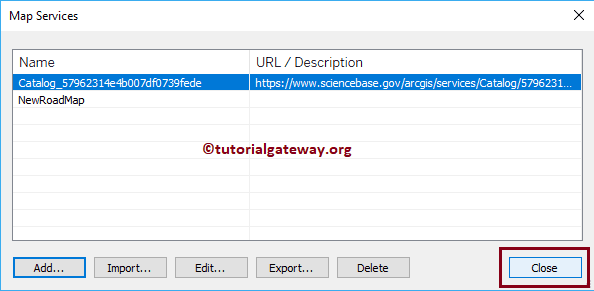
Selecting Map Services… will open the Map Services window. As you can see, it is displaying one Map Service. It is one that we created in our previous article. Please refer to Mapbox Maps as a Background Map to understand the same. Please click the Add… button and select the WMS Servers.. option.
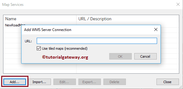
Selecting the WMS Servers.. option will open the Add WMS Server Connection window.
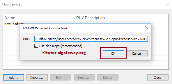
Paste the WMS URL and click OK to close the window.
Click Close button
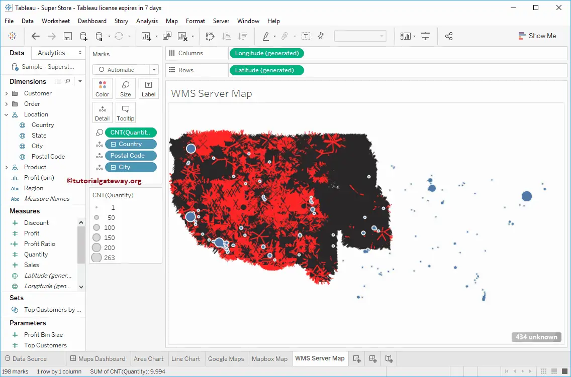
Now you can see the WMS Server map in Tableau replaces our default Map.
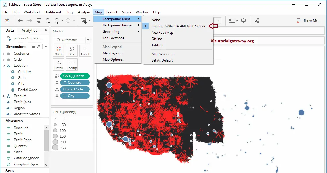
To check which Background Map is currently used, Go to Maps -> Background Maps. You can see that it is using the WMS Server Catalog… instead of the Tableau Background map. Let me add two more WMS Server maps.
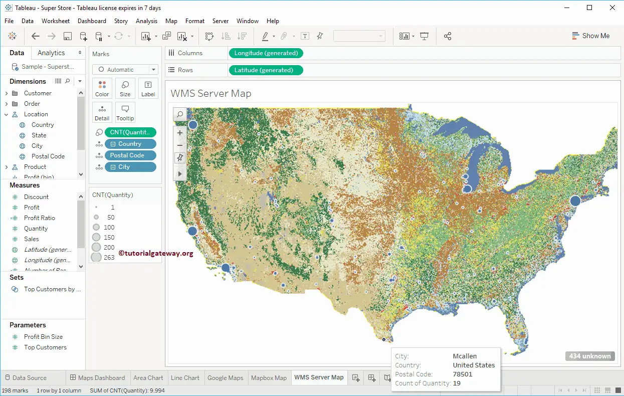
Let me select the USGS…… Background map
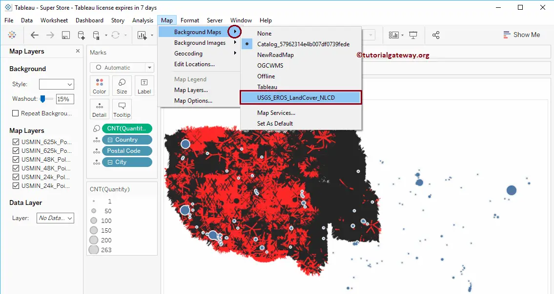
Now you can see the data with USGS…… Background map
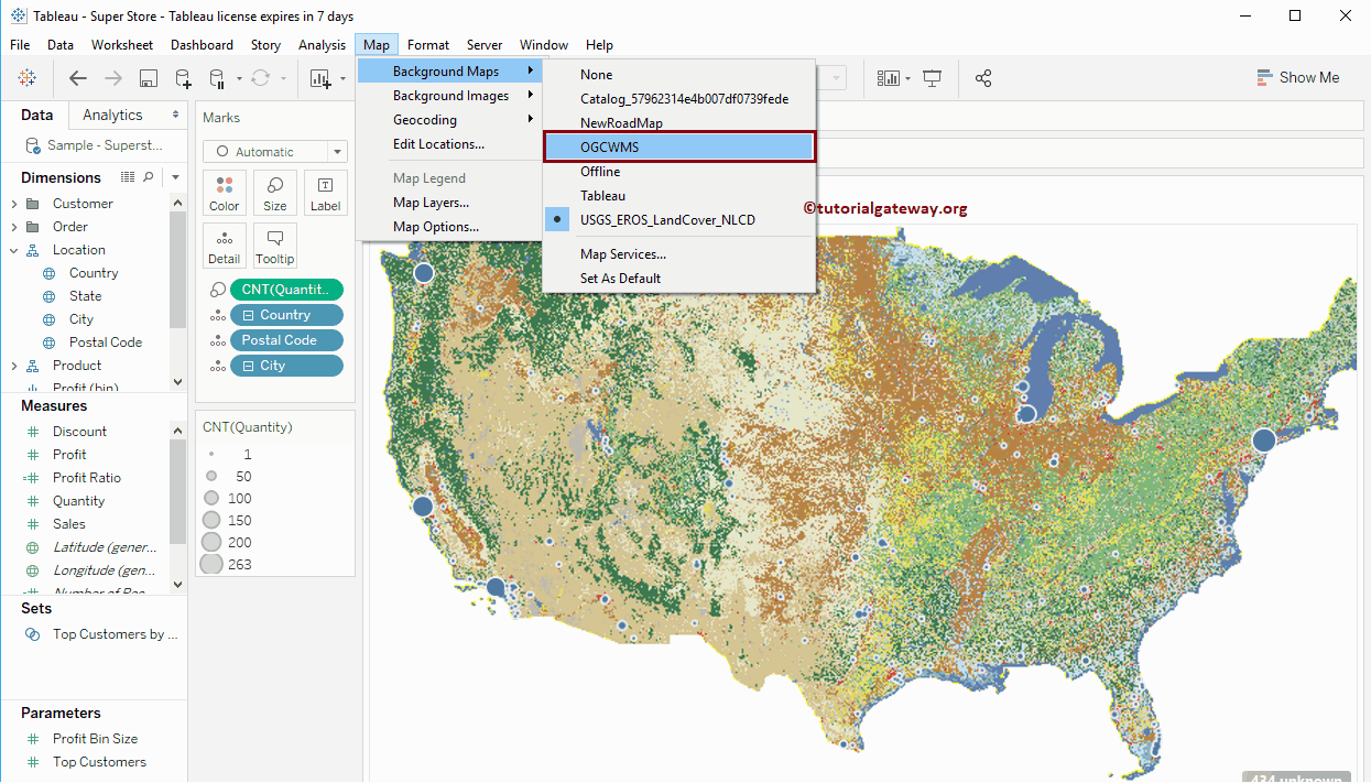
Let me change the map to OGCWMS
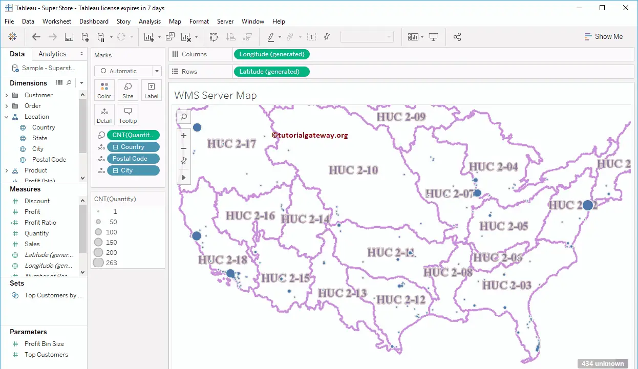
Now you can see the data in the OGCWMS map
You can use the Map Layer to add or remove Layers from the Map.
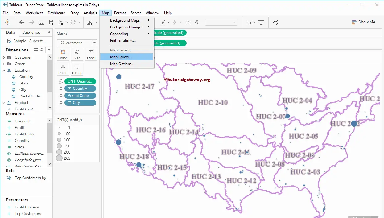
Now, you can see the layers available in this Tableau WMS Server map.
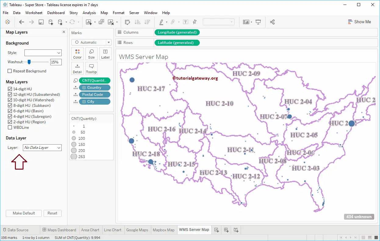
From the below screenshot, you can see that the map has changed because we checkmarked the WBDLine.
